Day 73 Sweat Creek Picnic Area, WA to Omak, WA 53.7 miles Total 3,593.7 mi
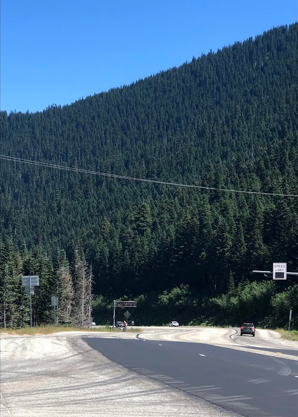
Talk about beating the heat...when I dropped Steve at Sweat Creek it was 46 degrees. This is what it looked like driving out of Omak. That haze is from the wildfires ~40 miles west of Omak in the Winthrop area.


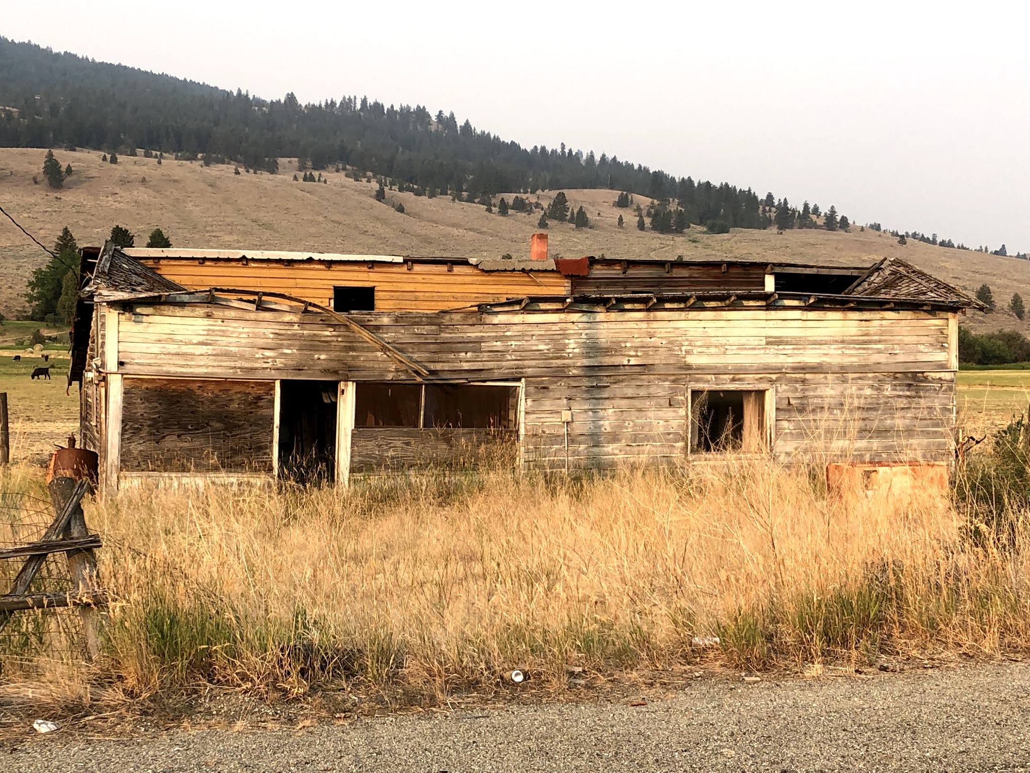
This one is for Bud, who is fascinated with abandoned structures.
After his ride Steve spent the day re-plotting the route to Puget Sound, our final destination. We now have our next five days planned out, routing and accomodations. Whew..
To top off the day we had a lovely dinner with Hank in Omak. He drove over and we spent the evening catching up and reminiscing over 40 years of friendship. A lot has happened since Steve and Hank were lieutenants together in the 72nd Signal Battalion in Karlsruhe, Germany in the late-70's. This was truly a highlight of our trip. It is too bad we couldn't spend the night at Hank and Kit's ranch in Winthrop, but we'll get there.


Comments
Post a Comment